You probably already use ArcGIS Field Maps for data collection in the field, but want to make it even simpler for your field team?
Have you ever had difficulties implementing this or another GIS software in your company? Generally, there is always that group(s) of people who are not very adept at new technologies, are not fluent, or have their personal preferences already determined and do not like change.
When faced with these difficulties, it always helps to make things as simple as possible. Instead of having employees manually scan, collect points, etc., what do you think of capturing multiple data at the same time with just one click of a button on an application, without the user even noticing or having to type anything? This is possible with the ArcGIS QuickCapture
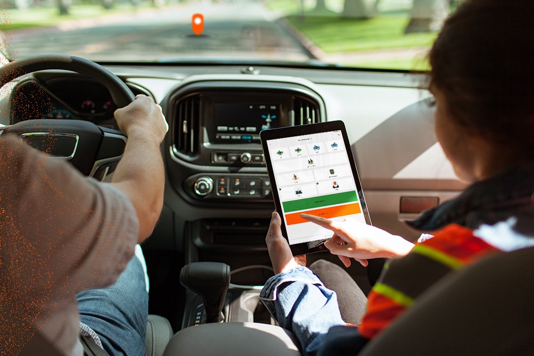
ArcGIS QuickCapture is the fastest way to collect field observations. With this simple app, you can quickly record field observations from a moving vehicle while exploring locations, conducting aerial surveys, or assessing damage. Send data back to the office for real-time analysis and eliminate time spent manually processing notes. ArcGIS QuickCapture is integrated with ArcGIS Online, so new data from the field can be used instantly for better decision making. – ESRI
Configure absolutely everything
Your GIS analyst/professional is left with the job of configuring the application and placing all the functions and data captures on each application button in the QC Designer (which is also quite simple and intuitive). The Field User will just click and collect everything in the background, without complications, very simply and without complaints.

Start by creating a new QC project with the layers you already have in ArcGIS Online or add a web feature layer blank. From there, collection buttons added to the project will add data to the layer, filling in the fields you want automatically, making it available on your webmap, portal, web layer, and/or ArcGIS PRO.
On video
Difficult to explain in text how you configure it. Better watch the video below where Ismail (one of the product creators at ESRI) explains everything. To get an idea of how to get started and how easy it is:
So, let's try to do your first project at QC? Comment below if you need help or have any questions and we will be happy to help.